The Basics
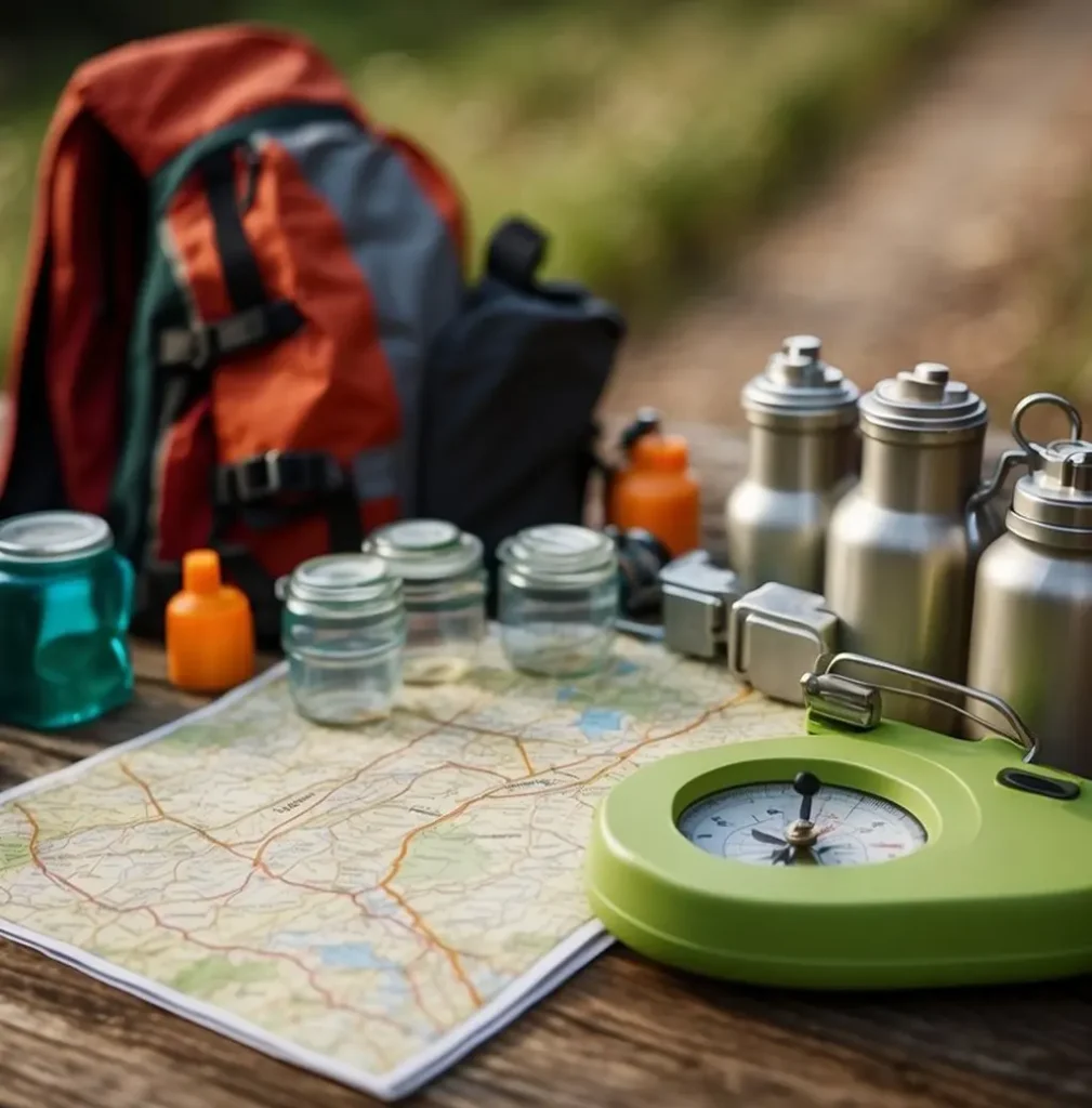
Equip Yourself for Adventure
Orienteering Basics
Orienteering: A Thrilling Adventure
Orienteering is an exciting outdoor activity that combines navigation, speed, and strategy. Using a map and compass, participants navigate through unfamiliar terrain to reach specific checkpoints.
Competitive Orienteering
In competitive Orienteering, athletes aim to complete a course with predetermined checkpoints in the shortest time possible. This thrilling sport demands physical fitness, mental agility, and navigational skills.
Join the Fun !
Local Orienteering clubs organize regular events in various settings, including parks, wilderness areas, and urban landscapes. These events offer courses catering to diverse skill levels, from casual enthusiasts to seasoned competitors.
Get Ready for Adventure !
Whether you’re seeking a fun recreational activity or a competitive challenge, Orienteering has something for everyone. So, grab your map and compass, and get ready to explore and navigate!
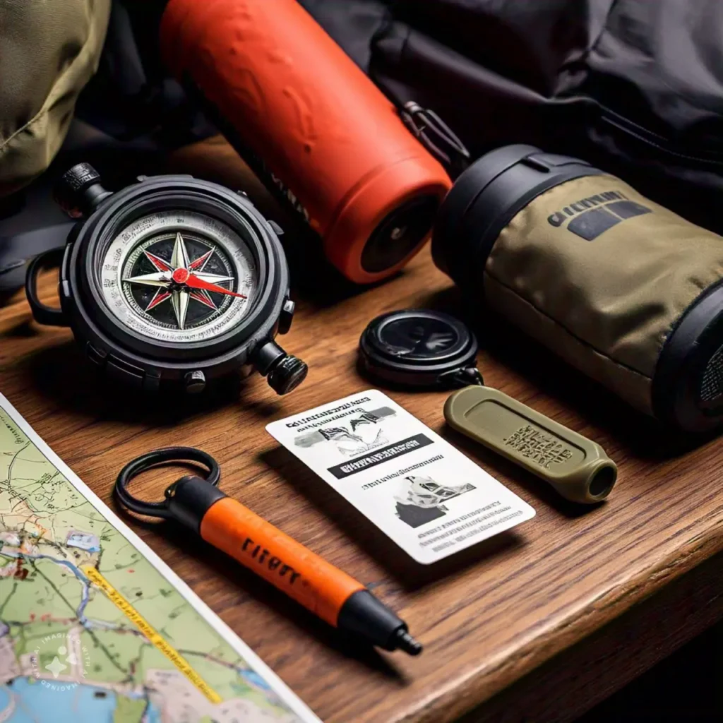
Compass
A simple compass will do. On beginner courses, you may not need one, but on advanced courses, the compass is important.
Whistle
A good loud whistle is used as a safety device to allow you to summon aid in the event of injury.
Watch
It is very important to keep track of the time you are on your course, so that you return to the finish before the course closure time.
Essential Items to Get Started
Sturdy Outdoor Wear
Sturdy outdoor athletic shoes are highly recommended along with long pants to protect legs from underbrush.
Control Card or SportIdent Stick
To confirm your visit to the right control flag a control card is used. Increasingly a new electronic timing system called SportIdent is used to record your visit. These items will be provided to you at registration. Look for more info under ‘The Challenge’ section.
Orienteering involves navigating to pre-determined spots or check point (called control) on the venue on the basis of the Map provided to each participant. Each spot (control) to be visited is marked on the terrain by an Orienteering Flag (which is of orange and white color, split diagonally). The OFI logo is inspired by the Orienteering Flag.
The Start point, the Finish point and each Control point is marked at the venue with the unmistakable Orienteering Flag. On the Map provided to each participant, the Start, the Finish and the Control points are clearly marked and correspond exactly to the location of such points in the terrain (each marked at the venue by the typical Orienteering Flag).
On the Orienteering Map, the Start point is represented by a Triangle, each Control point is represented by a Circle and the Finish point is represented by a Double Circle. The Maps are drawn in such a way that the location on the terrain or the venue corresponds to exactly the center of such Triangle, Circle or Double Circle on the Map.
At each Control point, in addition to the Orineteering Flag, the Control Code number, sometimes also called the Base number (starting from 31 onwards) is mentioned. Participants use a Punch (as per traditional method), to register their visit at each Control. Now, electronic systems are also used for this purpose.
At each Control point, at the venue, there is a Punch with which a distinctive mark can be made on the Punch card / the score sheet of each Participant. every Punch makes a different and distinct mark on the scoresheet. So unless the Participant visits each Control point, getting all the distinctive marks on the scoresheet is not possible. Where an electronic system is used, electronic devices by Sportident or Emit are placed at each Control point to record the visit of each Participant, who have to wear an electronic Dibber on the middle finger of the hand.
The Participants who visit all the Controls in the prescribed order and reach the Finish point earliest are the Winners. The Map is the most crucial item for Orienteering events. It is provided by the event organizers and shows all the Control points, Start and Finish and also the terrain features of the venue or area where the event is been held.
The Control Description Sheet, which is also provided by the event organizers, provides the specific location of each control point through specific Orienteering Symbols which are common throughout the world. It helps in precisely locating the exact place where the Control is present. It is a very powerful tool for an Orienteer to determine the exact place where the control is put on the venue or the terrian.
The Orineteering Map and the Control Descriptions speak the language of Orienteering and any person who has mastered these, can navigate and run at any place throughout the world irrespective of the language spoken in that land. So, Orienteering is truly a global sport.
The event organizers for an Orienteering event also provide a Punch Card or Scoring Sheet. On these sheet, markings are made by the Participants with Punches (each making a different and distinctive mark) at each Control.
The Orineteering Federation of India normally has the Map, the Control Description Chart and the Scoring Sheet, all on a single sheet for convience of the Participants. You can refer to the sample Maps given in the OFI Orienteering Handbook